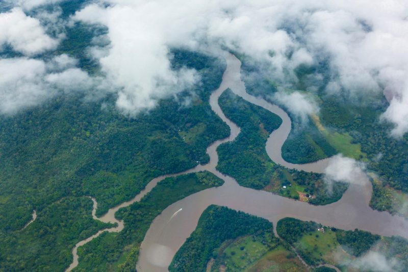
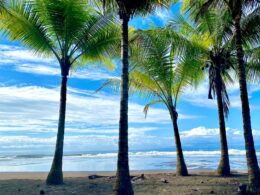
The Southern Zone of Costa Rica—stretching from Dominical through Uvita and Ojochal down to the Osa Peninsula—has developed through distinct historical layers shaped by Indigenous civilizations, extractive economies, infrastructure expansion, and recent tourism-driven growth.
Indigenous Foundations and Pre-Columbian Legacy
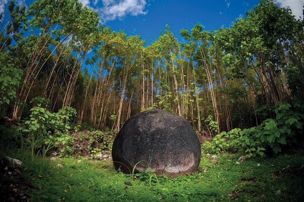
Long before modern settlement, the region was home to the Diquís cultural sphere, which flourished approximately between 700 and 1500 CE. The Térraba-Sierpe delta and surrounding valleys formed one of the most important centres of pre-Columbian development in southern Costa Rica. Among its most enduring legacies are the stone spheres, carved from igneous rock and distributed across settlement sites in the region. These objects remain one of the most significant archaeological markers of pre-Hispanic civilisation in Central America.
Resource Economies and Early Regional Integration
From the late 19th and early 20th centuries, the Southern Zone became integrated into global commodity networks. The expansion of banana production, driven largely by companies such as the United Fruit Company, established export-oriented agriculture across the Pacific south. Infrastructure, labour settlements, and coastal access points developed in parallel with plantation economies.
Golfito emerged during this period as a key commercial port. Established as a major banana-export hub in 1938, it became one of the most important logistical centres on Costa Rica’s southern Pacific coast for several decades.
Following the decline of banana dominance, African palm cultivation expanded across the region from the mid-to-late 20th century, particularly in Osa, Corredores, and Golfito cantons, consolidating its role as a major agricultural base.
Infrastructure and the Opening of the Coast
For much of the 20th century, the Southern Pacific remained relatively isolated due to limited road infrastructure and difficult terrain. Incremental development of the Costanera Sur (Route 34) throughout the late 20th century and its completion as a continuous coastal route in 2010 fundamentally changed regional access.
This connection linked previously remote coastal settlements—Dominical, Uvita, and Ojochal—directly to the Central Pacific corridor and the Greater Metropolitan Area, accelerating tourism, land development, and population growth.
Archaeology, Conservation, and Future Narratives
In parallel with economic transformation, the region’s archaeological and ecological significance gained increasing recognition. The stone spheres of the Diquís were inscribed as part of the UNESCO World Heritage listing in 2014 under the designation Precolumbian Chiefdom Settlements with Stone Spheres of the Diquís.
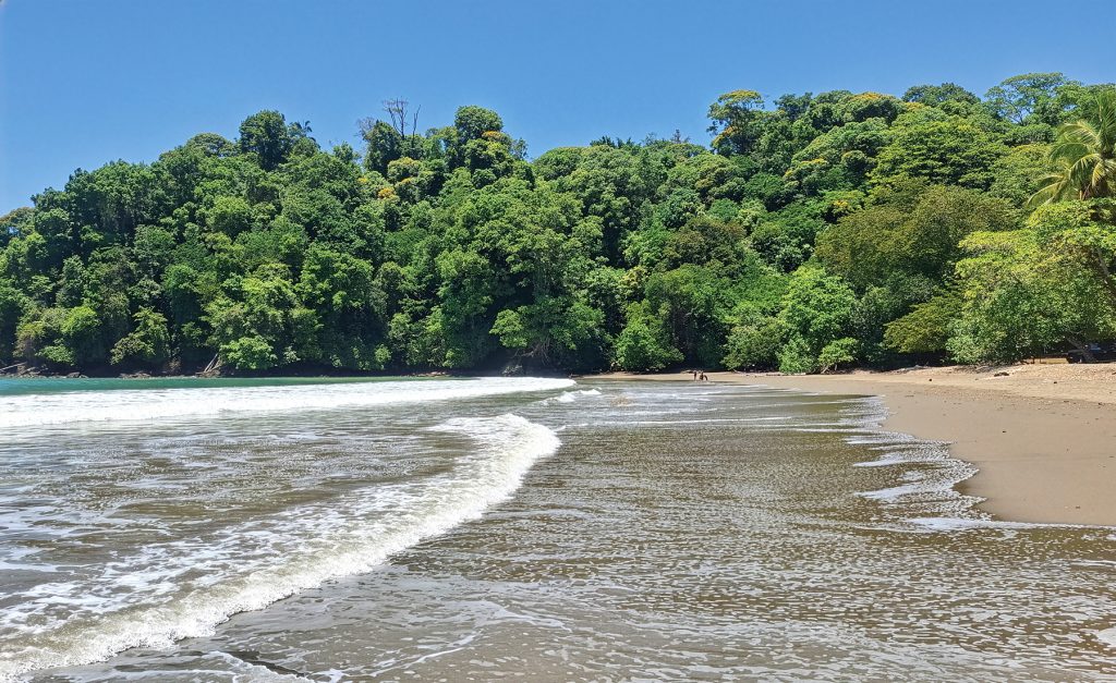
Meanwhile, conservation efforts expanded through protected areas such as Marino Ballena National Park (1992), reinforcing the region’s role as a biodiversity corridor and establishing the foundation for eco-tourism across Costa Ballena.
A Region in Continuous Reconfiguration
Today, the Southern Zone exists as a layered landscape where multiple historical phases remain visible at once: Indigenous ceremonial spheres, former plantation economies, port infrastructure, national parks, surf settlements, and rapidly evolving residential communities.
Rather than a single narrative of development, the region reflects a continuous process of adaptation—where land use, culture, and economy have shifted repeatedly while the underlying geography remains constant. The Southern Zone is not defined by one era, but by the accumulation of them.
Did You Know?
The Osa Peninsula is estimated to contain 2.5% of the world’s biodiversity within an area of just 700 square kilometres—an astonishing concentration of life.
Corcovado National Park was created in 1975 to protect one of the last remaining stretches of Pacific lowland tropical rainforest in Central America. Today, it safeguards approximately 42,500 hectares (104,900 acres) of rainforest and 3,354 hectares (8,290 acres) of marine habitat, making it one of the most biodiverse protected areas on Earth.
TIMELINE
Pre-1500 CE – Diquís Civilization Settlement of the Térraba–Sierpe region; creation of stone spheres across southern Pacific sites.
1500s–1800s – Colonial Era Isolation Region remains sparsely populated; limited integration with central Costa Rica.
1938 – Golfito Port Established United Fruit Company develops Golfito as a major banana export port.
1940s–1980s – Banana Economy Expansion Plantation agriculture dominates regional development; rail, port, and labour networks established.
1980s–1990s – Palm Oil Transition African palm cultivation expands across Osa, Corredores, and Golfito cantons.
1992 – Marino Ballena National Park Created Protection of marine ecosystems and Whale’s Tail formation in Uvita.
1970s–1990s – Surf & Early Coastal Settlement (Dominical Era) First international surfers arrive; Dominical develops as a low-access surf village.
2000s – Early Costa Ballena Growth Uvita and Ojochal begin rapid residential and tourism development.
2010 – Costanera Sur Completed (Route 34) Continuous coastal highway connects Southern Zone to Central Pacific; major acceleration in tourism and real estate.
2014 – UNESCO Recognition – Diquís Region Stone spheres included under Precolumbian Chiefdom Settlements with Stone Spheres of the Diquís designation.
2020s–Present – Mature Southern Zone Phase Established tourism economy, international residential communities, conservation pressure, and continued hillside development across Costa Ballena.
“La cultura es la fuerza que hace libre a un pueblo.”
Editor in Chief at Costa Pacifica LIVING says there are many similarities between Canadian livin' and the lifestyle many have come to seek out in Costa Rica - it’s all about finding the right fit, in the right location. The sunny weather is just a bonus!
Sign Up for Our Newsletters
Experience the lifestyle of Costa Rica like a VIP. Sign up today!